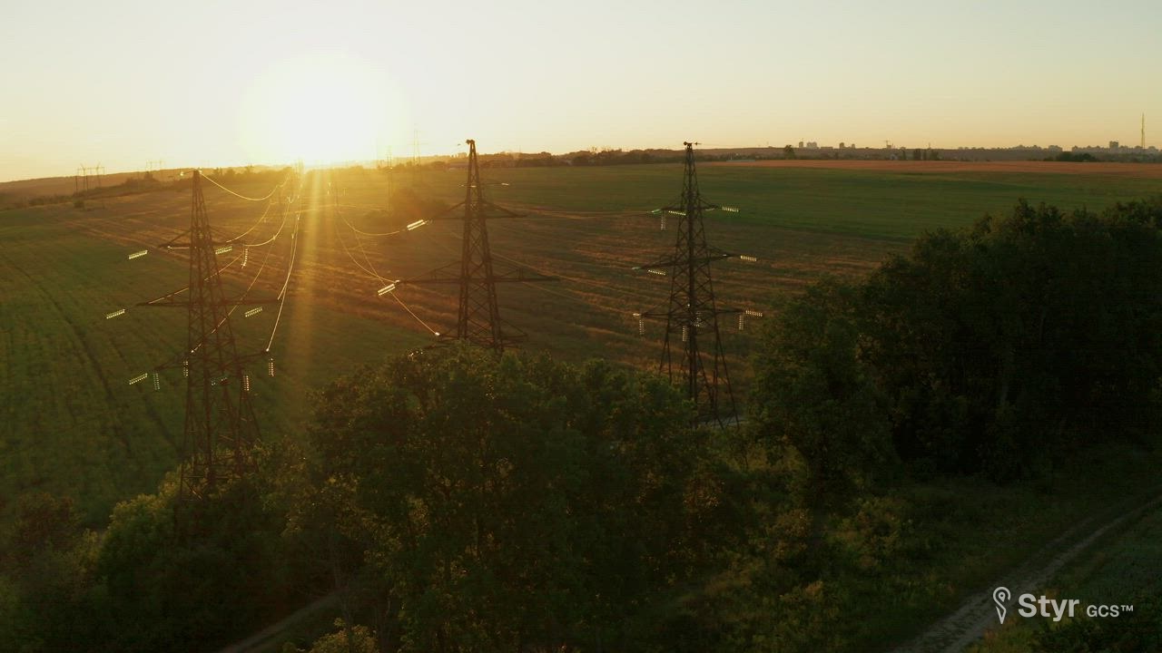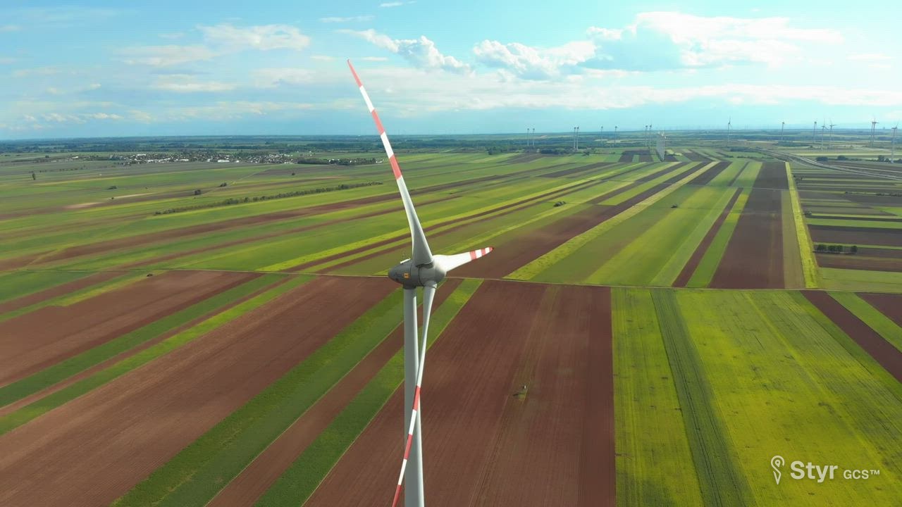
Every face. Every metre.
Scan towers, walls and turbines with patterns built for structures, watch two cameras live from anywhere, and plan on the real ground.
Up, down, and all the way around
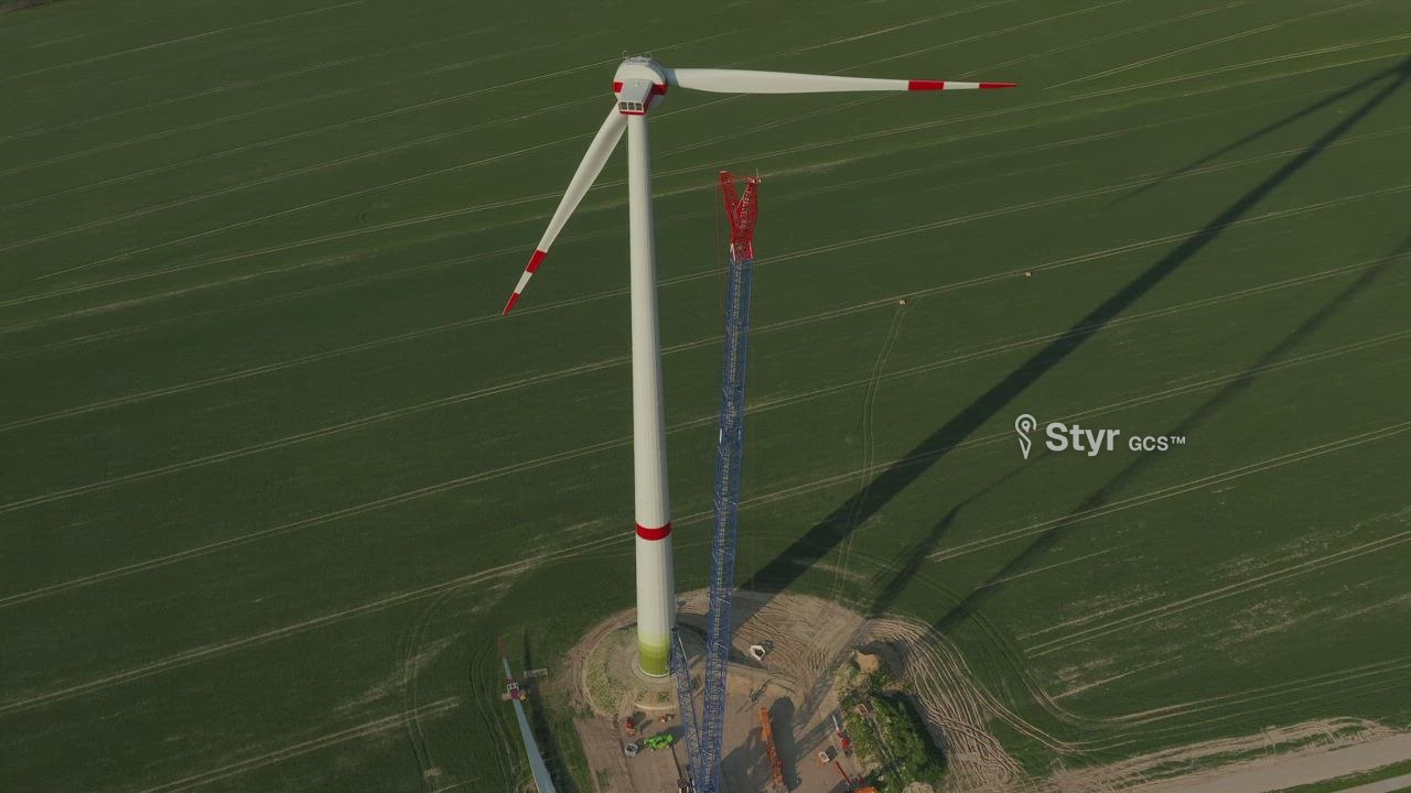
A vertical scan keeps a set distance from the wall and flies up and down it, face after face, so nothing is missed between photos.
Spacing from your cameraPick the camera and the overlap; Styr GCS™ works out how far apart the passes go.
Only the faces you needScan the north wall alone, or a sweep of a few faces, instead of the whole building.
A pattern for every structure
Each one builds its own route from a few taps on the map, ready to check in the simulator before you fly.
Two cameras, live, from anywhere
Watch the main camera and the thermal side by side, on site or from the office. Recordings play back later from the cloud, next to the flight.
MainLive
ThermalLive
Plan on the real ground, to the centimetre
Routes follow the terrain and see the buildings in 3D, so the aircraft keeps the same height over whatever is below it. Plug in your NTRIP caster for RTK, and bring missions in or out as files.
Above ground58 m
TerrainFollowed
PositionRTK fixed
Mission fileExported
Early access
Long corridors, past the horizon.
Fly pipelines and power lines beyond visual range with the link over 4G/5G. BVLOS flights need DGCA permission.
How the 4G/5G link works